

Global Weekly Snow Roundup #314
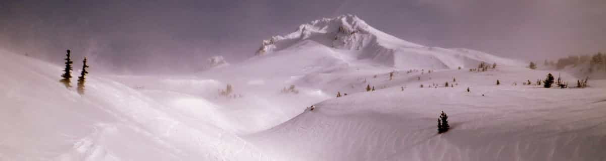
Weekly Global Snow News, updated 14 May 2026: Fresh snowfall in Argentina, Australia and Lesotho signals winter’s approach, while Japan maintains the world’s deepest snowpack.

Next 3 days weather summary:leichte Neuschneedecke, fallend meistens am Montag Nachm.. Temperaturen werden unter dem Gefrierpunkt sein (maximal -5°C am Montag Nachm., min -13°C am Samstag Morgen). Wind schwächt ab. | Days 4-6 weather summary:Meist trocken. Frost-Tau-Bedingungen (maximal 4°C in der Nacht zu Donnerstag, min -5°C in der Nacht zu Dienstag). Wind schwächt ab. | |||||||||||||||||
Saturday 16 | Sunday 17 | Monday 18 | Tuesday 19 | Wednesday 20 | Thursday 21 | |||||||||||||
AM | PM | Nacht | AM | PM | Nacht | AM | PM | Nacht | AM | PM | Nacht | AM | PM | Nacht | AM | PM | Nacht | |
einige Wolken | Schneeschauer | Schneeschauer | einige Wolken | einige Wolken | einige Wolken | leichter Schnee | leichter Schnee | leichter Schnee | leichter Schnee | leichter Schnee | leichter Schnee | einige Wolken | einige Wolken | einige Wolken | einige Wolken | einige Wolken | klar | |
km/h | ||||||||||||||||||
Snow map |  |  |  |  |  |  | ||||||||||||
— | 1 | — | — | — | — | 1 | 2 | 2 | — | — | — | — | — | — | — | — | — | |
— | — | — | — | — | — | — | — | — | — | — | — | — | — | — | — | — | — | |
max °C | -13 | -10 | -7 | -6 | -6 | -6 | -6 | -5 | -5 | -4 | -3 | -3 | -4 | -3 | 2 | 3 | 3 | 4 |
min °C | -13 | -12 | -10 | -6 | -6 | -7 | -7 | -6 | -6 | -4 | -3 | -5 | -4 | -4 | -2 | 3 | 3 | 3 |
-20 | -17 | -15 | -9 | -10 | -11 | -10 | -11 | -10 | -8 | -7 | -10 | -8 | -8 | -6 | 0 | 2 | 1 | |
88 | 91 | 52 | 34 | 79 | 94 | 80 | 95 | 90 | 98 | 94 | 84 | 77 | 90 | 29 | 28 | 51 | 11 | |
1500 | 1800 | 1150 | 2250 | 2400 | 2000 | 2400 | 2500 | 2250 | 2550 | 2800 | 2550 | 2650 | 2850 | 3450 | 3700 | 3650 | 3900 | |
6:01 | — | — | 6:00 | — | — | 5:58 | — | — | 5:58 | — | — | 5:56 | — | — | 5:56 | — | — | |
— | — | 8:57 | — | — | 8:58 | — | — | 8:59 | — | — | 9:00 | — | — | 9:01 | — | — | 9:02 | |
Letzte Schneeberichte in der Nähe von Montchavin:
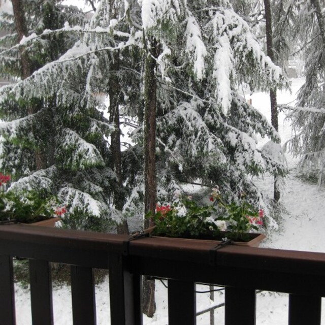
Resort is closed for the season. Snowing lightly, refreshing pistes. aus La Giettaz en Aravis
| Die obere Schneetiefe ist: | — |
|---|---|
| Die untere Schneetiefe ist: | — |
| Neuschneetiefe Berg | 19 cm |
| Wann hat es das letzte Mal geschneit? | 15 May 2026 |
0.6 | Bluebird Powder Tage Frischer Schnee, meist sonnig, leichter Wind. |
|---|---|
1.8 | Pulverschneetage Neuschnee, bewölkt, Wind |
1.6 | Bluebird Tage Schnee, meist sonnig, leichter Wind. |

Die Tabelle oben zeigt die Wettervorhersage für Montchavin auf der angegebenen Höhe von 3250 m. Unsere ausgeklügelten Wettermodelle ermöglichen uns die Schneevorhersage für die Gipfel-, Mittel- und Talstationen für Montchavin. Das Fenster über der Tabelle ermöglicht das Abrufen der Wettervorhersage für andere Höhen. Für einen umfassenderen Blick auf das Wetter, siehe die Wetterkarte" von France.Montchavin
Klicken Sie hier, um weitere Informationen über Gefrierpunkte zu erhalten und zu lesen wie wir unsere Temperaturen prognostizieren.
Allgemein 4.5 Basiert auf 8 Abstimmungen und 8 Beurteilungen
We have been to Les Coches on regular ski holidays and found the whole experience fantastic. Skiaffinity offer a great solution to missing the usual gridlock on "transfer Saturday", they offer a Sunday to Sunday package so not only the roads are quieter on a Sunday, we also get to ski on Saturday with only the locals on the slopes. Skiaffinity offer a luxury fully catered chalet within metres of the ski lift and with Laurie and Jess as chalet hosts delivering exceptional fully catered 5 star service. Great village atmosphere, check out "White Lines" après bar also. It was so good at new year we are all heading back next month.
John M aus United Kingdom schreibt:
We have been to Les Coches on regular ski holidays and found the whole experience fantastic. Skiaffinity offer a great solution to missing the usual gridlock on "transfer Saturday", they offer a Sunday to Sunday package so not only the roads are quieter on a Sunday, we also get to ski on Saturday with only the locals on the slopes. Skiaffinity offer a luxury fully catered chalet within metres of the ski lift and with Laurie and Jess as chalet hosts delivering exceptional fully catered 5 star service. Great village atmosphere, check out "White Lines" après bar also. It was so good at new year we are all heading back next month.
Lesen Sie 7 andere Beurteilungen ueber Montchavin oder geben Sie Ihre eigene Bewertung ab.


 Nearest