

Global Weekly Snow Roundup #314
Weekly Global Snow News, updated 14 May 2026: Fresh snowfall in Argentina, Australia and Lesotho signals winter’s approach, while Japan maintains the world’s deepest snowpack.

Next 3 days weather summary:leichte Neuschneedecke, fallend meistens am Samstag Nachm.. Frost-Tau-Bedingungen (maximal 3°C am Sonntag Nachm., min -5°C am Samstag Morgen). Wind schwächt ab. | Days 4-6 weather summary:leichter Regen (gesamt 4.0mm), meistens fallend am Dienstag Nachm.. Sehr mild (maximal 11°C am Donnerstag Nachm., min 1°C am Dienstag Morg.). Wind schwächt ab. | |||||||||||||||||
Saturday 16 | Sunday 17 | Monday 18 | Tuesday 19 | Wednesday 20 | Thursday 21 | |||||||||||||
AM | PM | Nacht | AM | PM | Nacht | AM | PM | Nacht | AM | PM | Nacht | AM | PM | Nacht | AM | PM | Nacht | |
Schneeschauer | leichter Schnee | Schneeschauer | einige Wolken | einige Wolken | einige Wolken | leichter Schnee | leichter Schnee | leichter Schnee | bewölkt | etwas Regen | Schauer | klar | einige Wolken | einige Wolken | einige Wolken | einige Wolken | klar | |
km/h | ||||||||||||||||||
Snow map |  |  |  |  |  |  | ||||||||||||
— | 2 | — | — | — | — | — | 2 | 2 | — | — | — | — | — | — | — | — | — | |
— | — | — | — | — | — | — | — | — | — | 3 | 1 | — | — | — | — | — | — | |
max °C | -4 | -2 | -1 | 1 | 3 | 2 | 0 | 2 | 2 | 2 | 3 | 3 | 5 | 8 | 8 | 8 | 11 | 10 |
min °C | -5 | -4 | -2 | -1 | 2 | 1 | 0 | 2 | 0 | 1 | 2 | 3 | 4 | 7 | 7 | 7 | 10 | 10 |
-9 | -7 | -2 | -1 | -1 | -2 | -4 | -2 | -3 | -2 | -1 | 1 | 3 | 6 | 6 | 6 | 10 | 10 | |
86 | 76 | 66 | 45 | 61 | 71 | 91 | 72 | 93 | 87 | 93 | 80 | 74 | 63 | 57 | 46 | 38 | 37 | |
1550 | 1900 | 1800 | 2250 | 2450 | 2300 | 2150 | 2350 | 2100 | 2450 | 2650 | 2700 | 2950 | 3200 | 3500 | 3700 | 3800 | 4050 | |
6:01 | — | — | 6:00 | — | — | 5:58 | — | — | 5:58 | — | — | 5:56 | — | — | 5:56 | — | — | |
— | — | 9:00 | — | — | 9:00 | — | — | 9:01 | — | — | 9:02 | — | — | 9:04 | — | — | 9:05 | |
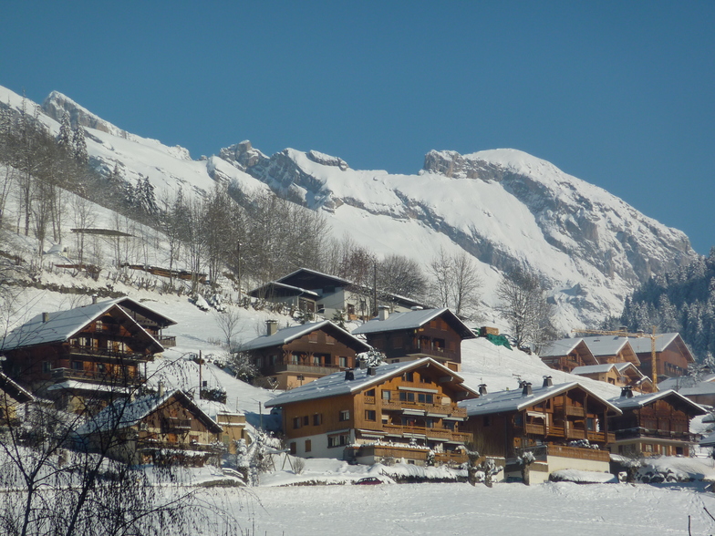
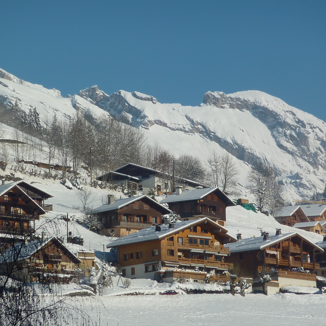
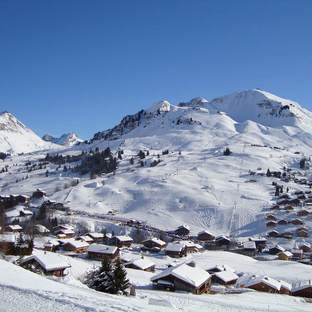
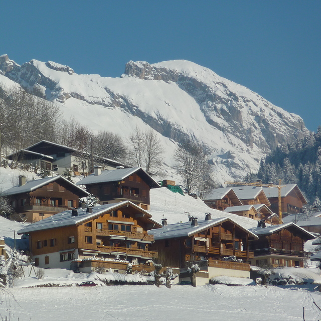
Letzte Schneeberichte in der Nähe von Le Grand Bornand:
Moderate rain reported from Haute-Savoie Mont Blanc Airport/Aéroport Annecy/Meythet at 711 metres elevation only 3 kms WNW of Annecy-LeSemnoz but it is forecast cold enough for snow at the ski area aus Annecy-LeSemnoz
Light rain reported from Haute-Savoie Mont Blanc Airport/Aéroport Annecy/Meythet at 711 metres elevation only 3 kms WNW of Annecy-LeSemnoz but it is forecast cold enough for snow at the ski area aus Annecy-LeSemnoz
| Die obere Schneetiefe ist: | — |
|---|---|
| Die untere Schneetiefe ist: | — |
| Neuschneetiefe Berg | 15 cm |
| Wann hat es das letzte Mal geschneit? | 15 May 2026 |
0.2 | Bluebird Powder Tage Frischer Schnee, meist sonnig, leichter Wind. |
|---|---|
0.2 | Pulverschneetage Neuschnee, bewölkt, Wind |
0.1 | Bluebird Tage Schnee, meist sonnig, leichter Wind. |
Die Tabelle oben zeigt die Wettervorhersage für Le Grand Bornand auf der angegebenen Höhe von 2101 m. Unsere ausgeklügelten Wettermodelle ermöglichen uns die Schneevorhersage für die Gipfel-, Mittel- und Talstationen für Le Grand Bornand. Das Fenster über der Tabelle ermöglicht das Abrufen der Wettervorhersage für andere Höhen. Für einen umfassenderen Blick auf das Wetter, siehe die Wetterkarte" von France.Le Grand Bornand
Klicken Sie hier, um weitere Informationen über Gefrierpunkte zu erhalten und zu lesen wie wir unsere Temperaturen prognostizieren.
Allgemein 4.2 Basiert auf 37 Abstimmungen und 31 Beurteilungen
Less than a week before we head to Le Grand Bornand again. We are taking our motorhome to the campsite; brilliant place with pool and helpful staff. Ski lifts have small queues, pistes are bashed, great environment for us and our 2, under 10, children. This place is a real gem; we may go back again at half-term if we enjoy a post Christmas ski.
Johng aus United Kingdom schreibt:
Less than a week before we head to Le Grand Bornand again. We are taking our motorhome to the campsite; brilliant place with pool and helpful staff. Ski lifts have small queues, pistes are bashed, great environment for us and our 2, under 10, children. This place is a real gem; we may go back again at half-term if we enjoy a post Christmas ski.
Lesen Sie 30 andere Beurteilungen ueber Le Grand Bornand oder geben Sie Ihre eigene Bewertung ab.


 Nearest