Die Schneevorhersage für Kaunertal ist: Meist trocken. Frost-Tau-Bedingungen (maximal 4°C am Freitag Morg., min -2°C in der Nacht zu Freitag). Wind schwächt ab.
Kaunertal Weather (Next 3 days): The snow forecast for Kaunertal is: Meist trocken. Frost-Tau-Bedingungen (maximal 4°C am Freitag Morg., min -2°C in der Nacht zu Freitag). Wind schwächt ab.
Kaunertal Weather (Days 4-6): Meist trocken. Frost-Tau-Bedingungen (maximal 3°C am Mittwoch Morg., min -3°C in der Nacht zu Montag). Wind schwächt ab.
Kaunertal live Schnee
Höhenlage
Schneehöhe
Temp. (°C)
Wind (km/h)
Wetter
Bergstation:
1.9m
-3
Mittelstation:
0
Tal:
1.3m
3
Nächstes Update: h min s
6 Day Forecast
Ausgestellt: 12 pm 06 Mar 2026 / Aktualisierungen in ::
Herausgegeben on Snow-Forecast.com um:12 pm (lokale Zeit) / 06 Mar 2026
Kaunertal Wetter
(Nächste 3 Tage):
Die Schneevorhersage für Kaunertal ist: Meist trocken. Frost-Tau-Bedingungen (maximal 4°C am Freitag Morg., min -2°C in der Nacht zu Freitag). Wind schwächt ab.
Kaunertal Wetter (Tage 4-6):
Meist trocken. Frost-Tau-Bedingungen (maximal 3°C am Mittwoch Morg., min -3°C in der Nacht zu Montag). Wind schwächt ab.
Kaunertal Wetter (Tage 7-16):
Interested in the 16-day Forecast? Unlock the full forecast and many more features by becoming a Pro member.
Letzte 6 TageScroll links für die letzten 6 TageJetzt
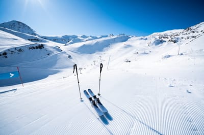
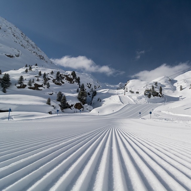
Die Tabelle oben zeigt die Wettervorhersage für Kaunertal auf der angegebenen Höhe von 2224 m. Unsere ausgeklügelten Wettermodelle ermöglichen uns die Schneevorhersage für die Gipfel-, Mittel- und Talstationen für Kaunertal. Das Fenster über der Tabelle ermöglicht das Abrufen der Wettervorhersage für andere Höhen. Für einen umfassenderen Blick auf das Wetter, siehe die Wetterkarte" von Austria.Kaunertal
Klicken Sie hier, um weitere Informationen über Gefrierpunkte zu erhalten und zu lesen wie wir unsere Temperaturen prognostizieren.
Besucher-Beurteilung fuer Kaunertal
Allgemein 3.9 Basiert auf 17 Abstimmungen und 2 Beurteilungen
The first big advantage of the Kaunertal is the ability to drive with your
car up to 2750m, directly to the glacier. The drive from Feichten (last town)
to the glacier is about 30km, beautiful landscapes and a huge lake included.
The ski resorts offers everything for a beginner and an expert. A great funpark
for snowboarder (beginner and experts), a halfpipe and obstacles. There are six surface lifts and two chair lifts (down to 2150m). So you are able to carve down
from 3162m to 2150m on one piece, great!
The next big thing is, that there are no masses of tourists and the tracks are
shaped nearly daily.
My favorite resort,
wiesi
http://www.mysnowboard.de
Allgemein: 3.9 Basiert auf 17 Abstimmungen und 2 Beurteilungen
Schneesicher
5.0
Vielfalt der Pisten
4.1
Off Piste
4.0
Landschaft
4.3
Apres-Ski
2.4
wiesi aus Germany schreibt:
The first big advantage of the Kaunertal is the ability to drive with your
car up to 2750m, directly to the glacier. The drive from Feichten (last town)
to the glacier is about 30km, beautiful landscapes and a huge lake included.
The ski resorts offers everything for a beginner and an expert. A great funpark
for snowboarder (beginner and experts), a halfpipe and obstacles. There are six surface lifts and two chair lifts (down to 2150m). So you are able to carve down
from 3162m to 2150m on one piece, great!
The next big thing is, that there are no masses of tourists and the tracks are
shaped nearly daily.
My favorite resort,
wiesi
http://www.mysnowboard.de
Kostenlose Snow-Forecast.com Wetter Widget für Ihre Website
Das Kaunertal Skiwetter Wideget unten, ist auf externen Seiten kostenlos eigebettet. Es bietet eine tägliche Zusammenfassung über unsere Kaunertal Schneevorhersage und derzeitige Wetterbedingungen. gehen Sie einfach auf die Feed-Konfiguration Seite und folgen Sie den 3 einfachen Schritten, um den eigenen HTML-Code-Snippet zu packen und fügen Sie ihn auf Ihrer eigenen Website. Sie können die Höhe der Schneevorhersage wählen (Gipfel, mittel Berg, oder unterer Gipfel) und Messeinheiten metrisch / Schneevorhersage für den Feed auf Ihre eigene Website & hellip anpassen; Klicken Sie hier, um den Code zu bekommen.


 Nearest