

Global Weekly Snow Roundup #314
Weekly Global Snow News, updated 14 May 2026: Fresh snowfall in Argentina, Australia and Lesotho signals winter’s approach, while Japan maintains the world’s deepest snowpack.

Next 4 days weather summary:Mäßiger Regen (gesamt 11.0mm), stärkstens in der Nacht zu Freitag. Frost-Tau-Bedingungen (maximal 10°C am Sonntag Nachm., min -1°C in der Nacht zu Freitag). Wind schwächt ab. | Days 5-7 weather summary:starker Regen (gesamt 29.0mm), stärkstens In der Nacht zu Freitag. Sehr mild (maximal 17°C am Donnerstag Nachm., min 5°C in der Nacht zu Montag). Wind schwächt ab. | |||||||||||||||
Saturday 16 | Sunday 17 | Monday 18 | Tuesday 19 | Wednesday 20 | ||||||||||||
Nacht | AM | PM | Nacht | AM | PM | Nacht | AM | PM | Nacht | AM | PM | Nacht | AM | PM | Nacht | |
leichter Schnee | Schauer | etwas Regen | Schauer | einige Wolken | bewölkt | einige Wolken | bewölkt | etwas Regen | mäßiger Regen | etwas Regen | etwas Regen | mäßiger Regen | Schauer | Schauer | Schauer | |
km/h | ||||||||||||||||
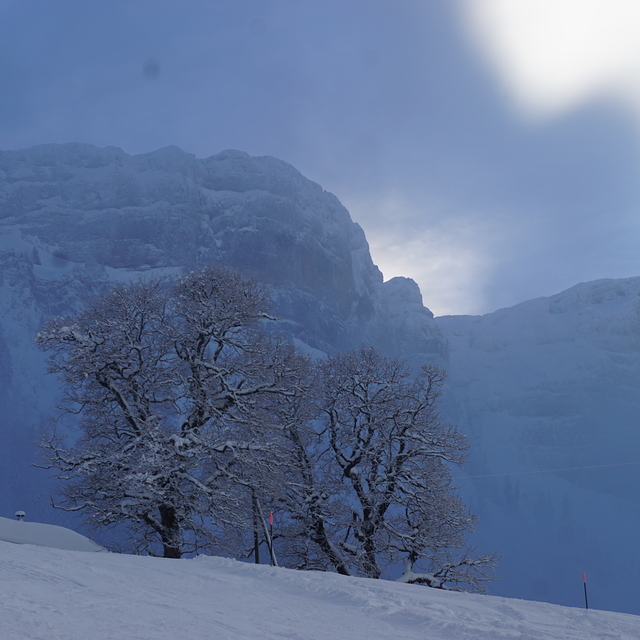
Snow map |  |  |  |  |  |  | ||||||||||
1 | — | — | — | — | — | — | — | — | — | — | — | — | — | — | — | |
2 | 1 | 4 | 1 | — | — | — | — | 3 | 8 | 1 | 2 | 9 | 1 | 6 | 2 | |
max °C | 2 | 4 | 5 | 4 | 8 | 10 | 8 | 8 | 7 | 7 | 6 | 12 | 8 | 11 | 11 | 10 |
min °C | -1 | 1 | 3 | 0 | 3 | 10 | 4 | 7 | 7 | 5 | 5 | 10 | 6 | 8 | 11 | 6 |
-1 | 1 | 1 | 0 | 3 | 10 | 4 | 7 | 7 | 4 | 5 | 9 | 5 | 8 | 10 | 6 | |
95 | 77 | 80 | 79 | 62 | 59 | 70 | 76 | 92 | 98 | 98 | 74 | 89 | 83 | 83 | 82 | |
1300 | 1550 | 1750 | 1750 | 2100 | 2350 | 2300 | 2250 | 2250 | 2050 | 2250 | 2750 | 2550 | 2600 | 2750 | 2950 | |
— | 5:52 | — | — | 5:52 | — | — | 5:50 | — | — | 5:50 | — | — | 5:48 | — | — | |
— | — | — | 8:57 | — | — | 8:58 | — | — | 8:59 | — | — | 9:00 | — | — | 9:01 | |
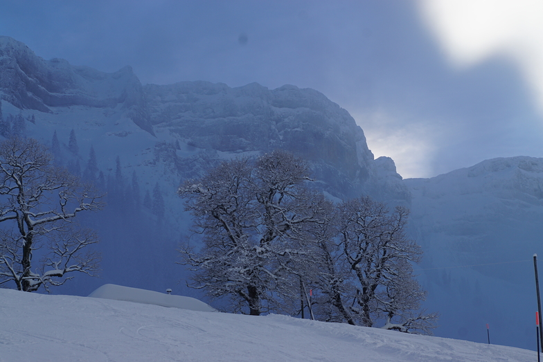
Letzte Schneeberichte in der Nähe von Eriz:
Light rain reported from Buochs Airport at 450 metres elevation 6 kms N of Dallenwil Wirzweli but it is forecast cold enough for snow at the ski area aus Dallenwil Wirzweli
Shower light rain shower reported from Alpnach Airport at 444 metres elevation 8 kms W of Dallenwil Wirzweli but it is forecast cold enough for snow at the ski area aus Dallenwil Wirzweli
Shower light rain shower reported from Alpnach Airport at 444 metres elevation only 4 kms SE of Pilatus / Luzern but it is forecast cold enough for snow at higher elevations in the ski area aus Pilatus / Luzern
| Die obere Schneetiefe ist: | — |
|---|---|
| Die untere Schneetiefe ist: | — |
| Neuschneetiefe Berg | 10 cm |
| Wann hat es das letzte Mal geschneit? | 14 May 2026 |
0.0 | Bluebird Powder Tage Frischer Schnee, meist sonnig, leichter Wind. |
|---|---|
0.0 | Pulverschneetage Neuschnee, bewölkt, Wind |
0.0 | Bluebird Tage Schnee, meist sonnig, leichter Wind. |

Die Tabelle oben zeigt die Wettervorhersage für Eriz auf der angegebenen Höhe von 1161 m. Unsere ausgeklügelten Wettermodelle ermöglichen uns die Schneevorhersage für die Gipfel-, Mittel- und Talstationen für Eriz. Das Fenster über der Tabelle ermöglicht das Abrufen der Wettervorhersage für andere Höhen. Für einen umfassenderen Blick auf das Wetter, siehe die Wetterkarte" von Switzerland.Eriz
Klicken Sie hier, um weitere Informationen über Gefrierpunkte zu erhalten und zu lesen wie wir unsere Temperaturen prognostizieren.
Allgemein 3.8 Basiert auf 2 Abstimmungen.


 Nearest