

Global Weekly Snow Roundup #314
Weekly Global Snow News, updated 14 May 2026: Fresh snowfall in Argentina, Australia and Lesotho signals winter’s approach, while Japan maintains the world’s deepest snowpack.

Next 4 days weather summary:Meist trocken. Frost-Tau-Bedingungen (maximal 8°C in der Nacht zu Freitag, min -4°C in der Nacht zu Sonntag). Wind zunehmend (Windstille In der Nacht zu Samstag, fast Sturm aus NO bis Sonntag Nacht). | Days 5-7 weather summary:Meist trocken. Sehr mild (maximal 14°C am Donnerstag Nachm., min 3°C in der Nacht zu Montag). Wind schwächt ab. | |||||||||||||||
Saturday 16 | Sunday 17 | Monday 18 | Tuesday 19 | Wednesday 20 | ||||||||||||
Nacht | AM | PM | Nacht | AM | PM | Nacht | AM | PM | Nacht | AM | PM | Nacht | AM | PM | Nacht | |
einige Wolken | einige Wolken | einige Wolken | einige Wolken | einige Wolken | einige Wolken | klar | klar | klar | klar | klar | klar | klar | klar | einige Wolken | klar | |
km/h | ||||||||||||||||
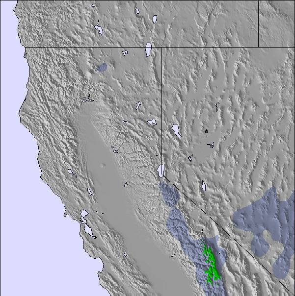
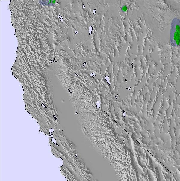
Snow map | 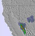 |  | 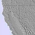 | 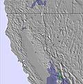 | 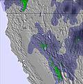 | 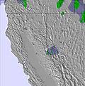 | ||||||||||
— | — | — | — | — | — | — | — | — | — | — | — | — | — | — | — | |
— | — | — | — | — | — | — | — | — | — | — | — | — | — | — | — | |
max °C | 8 | 4 | 8 | 5 | 0 | -1 | -1 | 0 | 4 | 3 | 6 | 11 | 9 | 9 | 13 | 11 |
min °C | 3 | 3 | 8 | 1 | 0 | -3 | -4 | -2 | 2 | 3 | 4 | 9 | 7 | 8 | 13 | 9 |
-2 | 1 | 7 | -2 | -5 | -10 | -12 | -10 | -3 | 0 | 4 | 8 | 6 | 7 | 12 | 8 | |
37 | 42 | 39 | 64 | 62 | 37 | 61 | 51 | 24 | 25 | 23 | 26 | 43 | 38 | 35 | 50 | |
3250 | 3150 | 3650 | 2900 | 2600 | 2450 | 2100 | 2550 | 3100 | 3000 | 3350 | 4000 | 3750 | 4000 | 4400 | 4100 | |
— | 5:45 | — | — | 5:45 | — | — | 5:43 | — | — | 5:43 | — | — | 5:41 | — | — | |
— | — | — | 8:07 | — | — | 8:07 | — | — | 8:08 | — | — | 8:09 | — | — | 8:09 | |
Letzte Schneeberichte in der Nähe von Diamond Peak:
| Die obere Schneetiefe ist: | 0 cm |
|---|---|
| Die untere Schneetiefe ist: | 0 cm |
| Neuschneetiefe Berg | — |
| Wann hat es das letzte Mal geschneit? | 27 Apr 2026 |
0.2 | Bluebird Powder Tage Frischer Schnee, meist sonnig, leichter Wind. |
|---|---|
0.3 | Pulverschneetage Neuschnee, bewölkt, Wind |
0.3 | Bluebird Tage Schnee, meist sonnig, leichter Wind. |
Die Tabelle oben zeigt die Wettervorhersage für Diamond Peak auf der angegebenen Höhe von 2602 m. Unsere ausgeklügelten Wettermodelle ermöglichen uns die Schneevorhersage für die Gipfel-, Mittel- und Talstationen für Diamond Peak. Das Fenster über der Tabelle ermöglicht das Abrufen der Wettervorhersage für andere Höhen. Für einen umfassenderen Blick auf das Wetter, siehe die Wetterkarte" von United States.Diamond Peak
Klicken Sie hier, um weitere Informationen über Gefrierpunkte zu erhalten und zu lesen wie wir unsere Temperaturen prognostizieren.
Allgemein 2.7 Basiert auf 11 Abstimmungen und 1 Bewertung
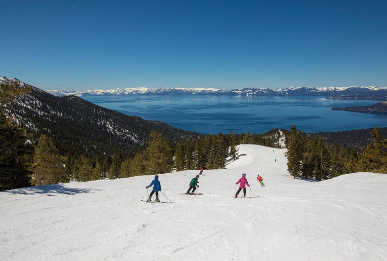
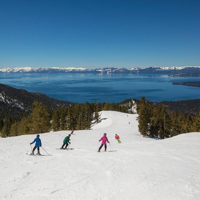
Beautiful lakeview scenery, varied terrain for all levels, keeps powder snow on the ungroomed runs (knee deep for two days last week), very friendly and family oriented.
Powderhound aus United States schreibt:
Beautiful lakeview scenery, varied terrain for all levels, keeps powder snow on the ungroomed runs (knee deep for two days last week), very friendly and family oriented.
Klicken Sie hier um Ihre eigene Beurteilung über Diamond Peak abzugeben

 Nearest