

Global Weekly Snow Roundup #314
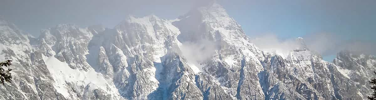
Weekly Global Snow News, updated 14 May 2026: Fresh snowfall in Argentina, Australia and Lesotho signals winter’s approach, while Japan maintains the world’s deepest snowpack.

Next 3 days weather summary:Meist trocken. Milde Temperaturen (maximal 7°C In der Nacht zu Samstag, min 5°C in der Nacht zu Sonntag). Wind schwächt ab. | Days 4-6 weather summary:etwas Nieselregen, stärkstens währ. Freitag Morgen.. Milde Temperaturen (maximal 7°C in der Nacht zu Dienstag, min 5°C am Donnerstag Morg.). Wind zunehmend (leichte Winde aus NW in der Nacht zu Dienstag, frische Winde aus NW bis Freitag Morg.). | ||||||||||||||||
Sat 16 | Sunday 17 | Monday 18 | Tuesday 19 | Wednesday 20 | Thursday 21 | ||||||||||||
PM | Nacht | AM | PM | Nacht | AM | PM | Nacht | AM | PM | Nacht | AM | PM | Nacht | AM | PM | Nacht | |
klar | klar | klar | klar | klar | klar | klar | klar | einige Wolken | einige Wolken | einige Wolken | einige Wolken | bewölkt | bewölkt | bewölkt | bewölkt | bewölkt | |
km/h | |||||||||||||||||
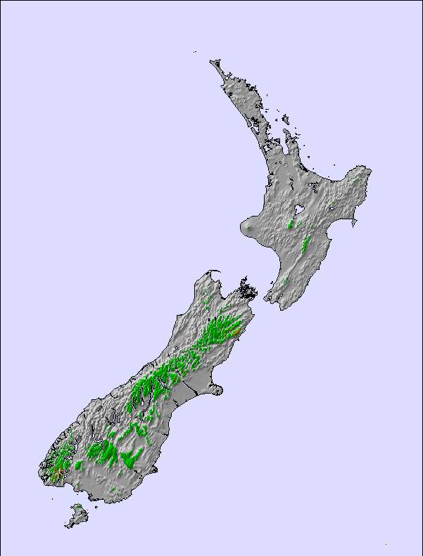
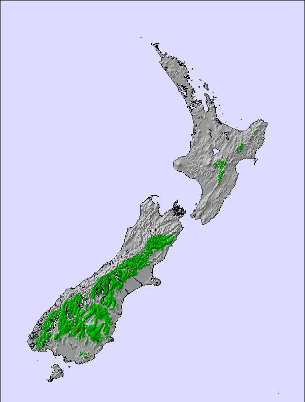
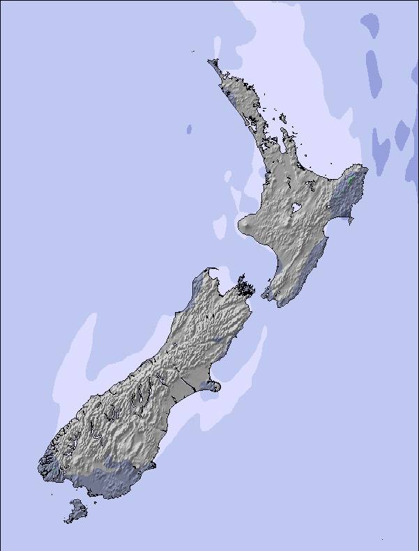
Snow map |  |  |  |  |  |  | |||||||||||
— | — | — | — | — | — | — | — | — | — | — | — | — | — | — | — | — | |
— | — | — | — | — | — | — | — | — | — | — | — | — | — | — | — | — | |
max °C | 6 | 7 | 7 | 6 | 6 | 5 | 5 | 5 | 6 | 6 | 7 | 7 | 7 | 7 | 6 | 6 | 6 |
min °C | 6 | 6 | 6 | 6 | 5 | 5 | 5 | 5 | 5 | 6 | 7 | 7 | 7 | 6 | 5 | 5 | 5 |
6 | 6 | 6 | 6 | 4 | 4 | 4 | 5 | 3 | 4 | 6 | 5 | 5 | 4 | 2 | 1 | 1 | |
23 | 17 | 17 | 21 | 21 | 24 | 30 | 25 | 19 | 12 | 11 | 11 | 14 | 20 | 25 | 49 | 63 | |
2900 | 2900 | 2850 | 2800 | 2700 | 2600 | 2600 | 2600 | 2750 | 2850 | 2950 | 3150 | 3150 | 3100 | 2900 | 2750 | 3400 | |
— | — | 7:50 | — | — | 7:50 | — | — | 7:52 | — | — | 7:52 | — | — | 7:54 | — | — | |
5:20 | — | — | 5:19 | — | — | 5:17 | — | — | 5:16 | — | — | 5:15 | — | — | 5:15 | — | |
Letzte Schneeberichte in der Nähe von Awakino Ski Area:
| Die obere Schneetiefe ist: | — |
|---|---|
| Die untere Schneetiefe ist: | — |
| Neuschneetiefe Berg | — |
| Wann hat es das letzte Mal geschneit? | 29 Apr 2026 |
0.4 | Bluebird Powder Tage Frischer Schnee, meist sonnig, leichter Wind. |
|---|---|
0.4 | Pulverschneetage Neuschnee, bewölkt, Wind |
0.5 | Bluebird Tage Schnee, meist sonnig, leichter Wind. |
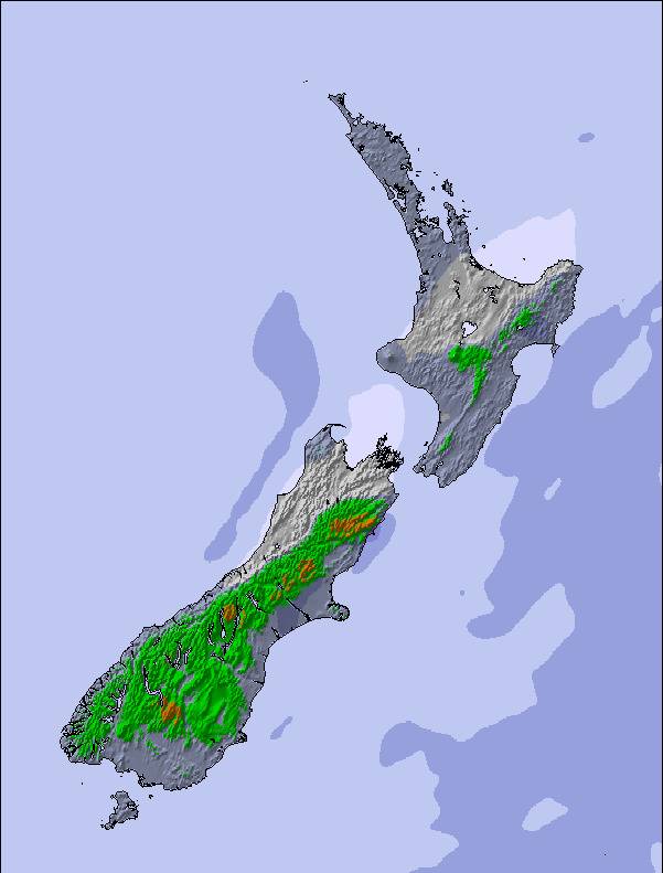
Die Tabelle oben zeigt die Wettervorhersage für Awakino Ski Area auf der angegebenen Höhe von 1600 m. Unsere ausgeklügelten Wettermodelle ermöglichen uns die Schneevorhersage für die Gipfel-, Mittel- und Talstationen für Awakino Ski Area. Das Fenster über der Tabelle ermöglicht das Abrufen der Wettervorhersage für andere Höhen. Für einen umfassenderen Blick auf das Wetter, siehe die Wetterkarte" von New Zealand.Awakino Ski Area
Klicken Sie hier, um weitere Informationen über Gefrierpunkte zu erhalten und zu lesen wie wir unsere Temperaturen prognostizieren.
Allgemein 3.0 Basiert auf 3 Abstimmungen.

 Nearest