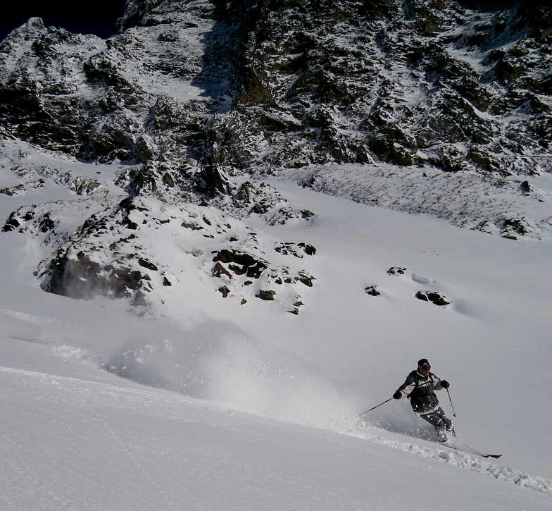


Global Weekly Snow Roundup #314
Weekly Global Snow News, updated 14 May 2026: Fresh snowfall in Argentina, Australia and Lesotho signals winter’s approach, while Japan maintains the world’s deepest snowpack.

Next 3 days weather summary:Sehr leichter Schneefall übergehend in leichten Regen (gesamt 3.0mm) am Montag Nachm.. Frost-Tau-Bedingungen (maximal 3°C am Sonntag Nachm., min -6°C am Samstag Morgen). Wind schwächt ab. | Days 4-6 weather summary:leichter Regen (gesamt 2.0mm), meistens fallend am Dienstag Nachm.. Sehr mild (maximal 12°C am Donnerstag Nachm., min 1°C am Dienstag Morg.). Wind schwächt ab. | |||||||||||||||||
Saturday 16 | Sunday 17 | Monday 18 | Tuesday 19 | Wednesday 20 | Thursday 21 | |||||||||||||
AM | PM | Nacht | AM | PM | Nacht | AM | PM | Nacht | AM | PM | Nacht | AM | PM | Nacht | AM | PM | Nacht | |
Schneeschauer | Schneeschauer | klar | einige Wolken | etwas Regen | leichter Schnee | leichter Schnee | leichter Schnee | leichter Schnee | bewölkt | etwas Regen | einige Wolken | klar | klar | einige Wolken | einige Wolken | klar | klar | |
km/h | ||||||||||||||||||
Snow map |  |  |  |  |  |  | ||||||||||||
— | — | — | — | — | — | — | 1 | 2 | — | — | — | — | — | — | — | — | — | |
— | — | — | — | 1 | — | — | 2 | — | — | 2 | — | — | — | — | — | — | — | |
max °C | -4 | -2 | -2 | 1 | 3 | 1 | 2 | 2 | 1 | 2 | 4 | 3 | 6 | 9 | 8 | 10 | 12 | 10 |
min °C | -6 | -3 | -2 | 0 | 3 | 0 | 0 | 2 | 0 | 1 | 3 | 3 | 4 | 8 | 6 | 8 | 11 | 9 |
-12 | -7 | -6 | 0 | 1 | -2 | -2 | -1 | -2 | 1 | 1 | 0 | 2 | 6 | 5 | 7 | 10 | 9 | |
80 | 74 | 57 | 51 | 78 | 88 | 77 | 77 | 88 | 84 | 90 | 77 | 58 | 59 | 56 | 33 | 37 | 36 | |
1700 | 1950 | 1700 | 2400 | 2500 | 2300 | 2400 | 2500 | 2250 | 2600 | 2800 | 3000 | 3200 | 3400 | 3750 | 3900 | 3950 | 4150 | |
6:05 | — | — | 6:03 | — | — | 6:03 | — | — | 6:01 | — | — | 6:01 | — | — | 6:00 | — | — | |
— | — | 8:58 | — | — | 8:59 | — | — | 9:00 | — | — | 9:01 | — | — | 9:02 | — | — | 9:04 | |
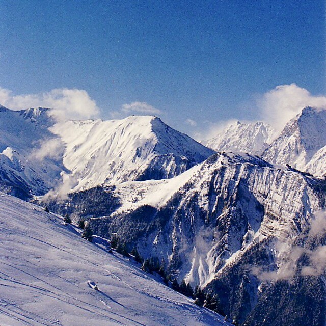
Letzte Schneeberichte in der Nähe von Alpe d'Huez:
| Die obere Schneetiefe ist: | — |
|---|---|
| Die untere Schneetiefe ist: | — |
| Neuschneetiefe Berg | 10 cm |
| Wann hat es das letzte Mal geschneit? | 15 May 2026 |
0.3 | Bluebird Powder Tage Frischer Schnee, meist sonnig, leichter Wind. |
|---|---|
0.6 | Pulverschneetage Neuschnee, bewölkt, Wind |
0.2 | Bluebird Tage Schnee, meist sonnig, leichter Wind. |
Die Tabelle oben zeigt die Wettervorhersage für Alpe d'Huez auf der angegebenen Höhe von 2225 m. Unsere ausgeklügelten Wettermodelle ermöglichen uns die Schneevorhersage für die Gipfel-, Mittel- und Talstationen für Alpe d'Huez. Das Fenster über der Tabelle ermöglicht das Abrufen der Wettervorhersage für andere Höhen. Für einen umfassenderen Blick auf das Wetter, siehe die Wetterkarte" von France.Alpe d'Huez
Klicken Sie hier, um weitere Informationen über Gefrierpunkte zu erhalten und zu lesen wie wir unsere Temperaturen prognostizieren.
Allgemein 4.0 Basiert auf 82 Abstimmungen und 110 Beurteilungen
First time here having visited many French resorts. We were part of a large party in a chalet. The general opinion was that whilst we had an enjoyable week we wouldn’t rush back. The runs in the bowl above the resort are boring. There are some good blacks off the top as well as good off-piste areas.!The runs down into Oz and Monfrais are more interesting as is the area above Auris. Eating on the mountain was a pain, having a drink was even worse. One place wouldn’t let us inside for a drink even when it was snowing and mid morning claiming it was food only, but that wasn’t available until noon. The resort itself feels disconnected and is very spread out. The snow was excellent and the lifts generally good with only the odd antiquated chair.
Jean aus France schreibt:
First time here having visited many French resorts. We were part of a large party in a chalet. The general opinion was that whilst we had an enjoyable week we wouldn’t rush back. The runs in the bowl above the resort are boring. There are some good blacks off the top as well as good off-piste areas.!The runs down into Oz and Monfrais are more interesting as is the area above Auris. Eating on the mountain was a pain, having a drink was even worse. One place wouldn’t let us inside for a drink even when it was snowing and mid morning claiming it was food only, but that wasn’t available until noon. The resort itself feels disconnected and is very spread out. The snow was excellent and the lifts generally good with only the odd antiquated chair.
Lesen Sie 109 andere Beurteilungen ueber Alpe d'Huez oder geben Sie Ihre eigene Bewertung ab.


 Nearest