


View forecast
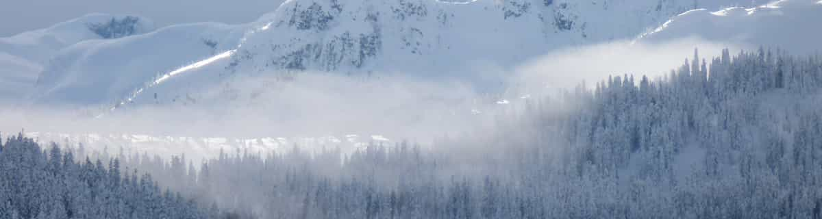
Marbach - Marbachegg at 1384 m Höhenlage
Herausgegeben on Snow-Forecast.com um: 7 am (lokale Zeit) / 25 Apr 2024
Now
Thursday 25 | Friday 26 | Saturday 27 | Sunday 28 | Monday 29 | Tuesday 30 | Wednesday 1 | |||||||||||||||
AM | PM | Nacht | AM | PM | Nacht | AM | PM | Nacht | AM | PM | Nacht | AM | PM | Nacht | AM | PM | Nacht | AM | PM | Nacht | |
Schneeschauer | etwas Regen | einige Wolken | einige Wolken | etwas Regen | etwas Regen | bewölkt | einige Wolken | bewölkt | bewölkt | bewölkt | einige Wolken | klar | einige Wolken | einige Wolken | einige Wolken | bewölkt | einige Wolken | einige Wolken | Gewittergefahr | Schauer | |
km/h | |||||||||||||||||||||
Snow map |  |  |  |  |  |  |  | ||||||||||||||
cm | — | — | — | — | — | — | — | — | — | — | — | — | — | — | — | — | — | — | — | — | — |
mm | — | 1.0 | — | — | 2.0 | 2.0 | — | — | — | — | — | — | — | — | — | — | — | — | — | 3 | 10 |
max°C | -2 | 2 | 2 | 4 | 5 | 3 | 6 | 9 | 7 | 9 | 11 | 8 | 9 | 12 | 11 | 11 | 14 | 11 | 10 | 11 | 10 |
min°C | -4 | 0 | 1 | 2 | 5 | 3 | 4 | 9 | 7 | 7 | 9 | 6 | 7 | 12 | 9 | 9 | 13 | 8 | 7 | 11 | 7 |
chill°C | -6 | -2 | -2 | 2 | 3 | 3 | 3 | 8 | 4 | 5 | 9 | 5 | 6 | 12 | 8 | 8 | 12 | 8 | 6 | 10 | 5 |
Feuchte% | 83 | 68 | 67 | 64 | 80 | 61 | 60 | 47 | 54 | 61 | 65 | 78 | 68 | 61 | 64 | 56 | 43 | 73 | 70 | 81 | 83 |
Gefrierpunkt (m) | 1100 | 1650 | 1500 | 1950 | 2000 | 1950 | 2350 | 2600 | 2800 | 2750 | 2650 | 2750 | 2950 | 3000 | 3250 | 3150 | 3150 | 2950 | 2850 | 2900 | 2700 |
6:22 | — | — | 6:20 | — | — | 6:18 | — | — | 6:16 | — | — | 6:15 | — | — | 6:13 | — | — | 6:11 | — | — | |
— | — | 8:30 | — | — | 8:31 | — | — | 8:32 | — | — | 8:35 | — | — | 8:36 | — | — | 8:37 | — | — | 8:38 | |
Zusammenfassung Wetterprognose an folgenden Tagen 0 - 3
leichter Regen (gesamt 5.0mm), meistens fallend in der Nacht zu Freitag. Frost-Tau-Bedingungen (maximal 9°C am Samstag Nachm., min -4°C am Donnerstag Morg.). Wind schwächt ab.
Zusammenfassung Wetterprognose an folgenden Tagen 4 - 6
Meist trocken. Sehr mild (maximal 14°C am Dienstag Nachm., min 6°C in der Nacht zu Sonntag). Wind schwächt ab.
Popular Marbach - Marbachegg Pages
Schneefallradar
Bericht einreichenLetzte Schneeberichte in der Nähe von Marbach - Marbachegg:
27 km weg von Marbach - Marbachegg
vor 2 hour
A sunny start with great snow and cold temperatures. Wixi and nordwand open. aus Wengen
32 km weg von Marbach - Marbachegg
vor 7 hour
Shower light rain shower reported from Alpnach Airport at 444 metres elevation only 4 kms SE of Pilatus / Luzern but it is forecast cold enough for snow at the ski area aus Pilatus / Luzern
39 km weg von Marbach - Marbachegg
vor 7 hourLight rain reported from Buochs Airport at 450 metres elevation 6 kms N of Dallenwil Wirzweli but it is forecast cold enough for snow at the ski area aus Dallenwil Wirzweli
39 km weg von Marbach - Marbachegg
vor 14 hourDrizzle reported from Buochs Airport at 450 metres elevation 6 kms N of Dallenwil Wirzweli but it is forecast cold enough for snow at the ski area aus Dallenwil Wirzweli
Schneeverhältnisse in Marbach - Marbachegg
| Die obere Schneetiefe ist: | 0 cm |
|---|---|
| Die untere Schneetiefe ist: | 0 cm |
| Neuschneetiefe Berg | 11 cm |
| Wann hat es das letzte Mal geschneit? | 24 Apr 2024 |
Andere Skigebiete in Switzerland berichten: Pulverschnee (10) / Gute Pistenbedingungen (9)
Partnerangebote Snow-Forecast
Show your business here
Schneerückschau
Woche 4 von April hat im Durchschnitt:
0.1 | Bluebird Powder Tage Frischer Schnee, meist sonnig, leichter Wind. |
|---|---|
0.4 | Pulverschneetage Neuschnee, bewölkt, Wind |
0.1 | Bluebird Tage Schnee, meist sonnig, leichter Wind. |


Andere Skigebiete in Switzerland berichten: Pulverschnee (10) / Gute Pistenbedingungen (9)
Die Tabelle oben zeigt die Wettervorhersage für Marbach - Marbachegg auf der angegebenen Höhe von 1384 m. Unsere ausgeklügelten Wettermodelle ermöglichen uns die Schneevorhersage für die Gipfel-, Mittel- und Talstationen für Marbach - Marbachegg. Das Fenster über der Tabelle ermöglicht das Abrufen der Wettervorhersage für andere Höhen. Für einen umfassenderen Blick auf das Wetter, siehe die Wetterkarte" von Switzerland.Marbach - Marbachegg
Klicken Sie hier, um weitere Informationen über Gefrierpunkte zu erhalten und zu lesen wie wir unsere Temperaturen prognostizieren.
Besucher-Beurteilung fuer Marbach - Marbachegg
Kostenlose Snow-Forecast.com Wetter Widget für Ihre Website
Das Marbach - Marbachegg Skiwetter Wideget unten, ist auf externen Seiten kostenlos eigebettet. Es bietet eine tägliche Zusammenfassung über unsere Marbach - Marbachegg Schneevorhersage und derzeitige Wetterbedingungen. gehen Sie einfach auf die Feed-Konfiguration Seite und folgen Sie den 3 einfachen Schritten, um den eigenen HTML-Code-Snippet zu packen und fügen Sie ihn auf Ihrer eigenen Website. Sie können die Höhe der Schneevorhersage wählen (Gipfel, mittel Berg, oder unterer Gipfel) und Messeinheiten metrisch / Schneevorhersage für den Feed auf Ihre eigene Website & hellip anpassen; Klicken Sie hier, um den Code zu bekommen.
Detaillierte Schneevorhersage für Marbach - Marbachegg in:
snow-forecast.com

 Nearest