


View forecast
Eschenlohe at 650 m Höhenlage
Herausgegeben on Snow-Forecast.com um: 7 am (lokale Zeit) / 25 Apr 2024
Now
Thursday 25 | Friday 26 | Saturday 27 | Sunday 28 | Monday 29 | Tuesday 30 | Wednesday 1 | |||||||||||||||
AM | PM | Nacht | AM | PM | Nacht | AM | PM | Nacht | AM | PM | Nacht | AM | PM | Nacht | AM | PM | Nacht | AM | PM | Nacht | |
Schauer | Schauer | einige Wolken | einige Wolken | einige Wolken | einige Wolken | klar | klar | einige Wolken | einige Wolken | einige Wolken | einige Wolken | einige Wolken | klar | klar | klar | einige Wolken | einige Wolken | einige Wolken | Gewittergefahr | Schauer | |
km/h | |||||||||||||||||||||
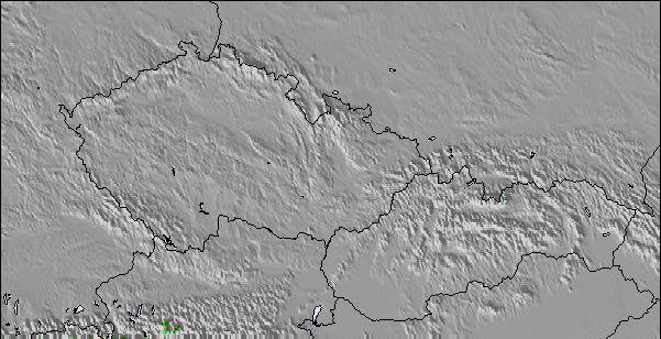
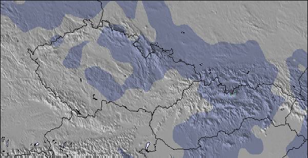
Snow map |  |  |  |  |  |  |  | ||||||||||||||
cm | — | — | — | — | — | — | — | — | — | — | — | — | — | — | — | — | — | — | — | — | — |
mm | 1.0 | 2.0 | — | — | — | — | — | — | — | — | — | — | — | — | — | — | — | — | — | 2.0 | 8 |
max°C | 6 | 8 | 4 | 11 | 14 | 8 | 13 | 17 | 10 | 17 | 20 | 13 | 18 | 21 | 15 | 21 | 24 | 17 | 20 | 21 | 14 |
min°C | 1 | 8 | -1 | 4 | 14 | 2 | 7 | 17 | 5 | 9 | 20 | 8 | 11 | 21 | 9 | 13 | 24 | 11 | 14 | 19 | 9 |
chill°C | -1 | 8 | -3 | 3 | 14 | 0 | 6 | 17 | 3 | 8 | 20 | 8 | 11 | 21 | 8 | 13 | 24 | 11 | 14 | 19 | 8 |
Feuchte% | 61 | 55 | 79 | 50 | 37 | 71 | 47 | 38 | 70 | 47 | 42 | 76 | 53 | 51 | 71 | 38 | 24 | 56 | 46 | 60 | 81 |
Gefrierpunkt (m) | 1200 | 1650 | 1400 | 1900 | 2200 | 2100 | 2400 | 2550 | 2900 | 3200 | 3150 | 3150 | 3400 | 3300 | 3500 | 3400 | 3350 | 3350 | 3200 | 3050 | 2900 |
6:07 | — | — | 6:05 | — | — | 6:03 | — | — | 6:01 | — | — | 6:00 | — | — | 5:58 | — | — | 5:56 | — | — | |
— | — | 8:19 | — | — | 8:20 | — | — | 8:22 | — | — | 8:22 | — | — | 8:24 | — | — | 8:25 | — | — | 8:27 | |
Zusammenfassung Wetterprognose an folgenden Tagen 0 - 3
leichter Regen (gesamt 3.0mm), meistens fallend am Donnerstag Morg.. Frost-Tau-Bedingungen (maximal 17°C am Samstag Nachm., min -1°C in der Nacht zu Donnerstag). Wind schwächt ab.
Zusammenfassung Wetterprognose an folgenden Tagen 4 - 6
Meist trocken. Warm (maximal 24°C am Dienstag Nachm., min 8°C in der Nacht zu Sonntag). Wind schwächt ab.
Popular Eschenlohe Pages
Schneefallradar
Bericht einreichenLetzte Schneeberichte in der Nähe von Eschenlohe:
37 km weg von Eschenlohe
vor 1 hour
Light rain showers reported from Reutte at 843 metres elevation one km N of Reuttener Seilbahnen but it is forecast cold enough for snow at higher elevations in the ski area aus Reuttener Seilbahnen
48 km weg von Eschenlohe
vor 5 hourRain reported from Jenbach at 531 metres elevation only 4 kms NE of Burglift – Stans but it is forecast cold enough for snow at the ski area aus Burglift – Stans
24 km weg von Eschenlohe
vor 10 hourContinuous light snow reported from Zugspitze at 2337 metres elevation one km S of Garmisch-Partenkirchen-Zugspitze Ski Resort aus Garmisch-Partenkirchen-Zugspitze
Schneeverhältnisse in Eschenlohe
| Die obere Schneetiefe ist: | — |
|---|---|
| Die untere Schneetiefe ist: | — |
| Neuschneetiefe Berg | — |
| Wann hat es das letzte Mal geschneit? | 23 Apr 2024 |
Andere Skigebiete in Germany berichten: Pulverschnee (2) / Gute Pistenbedingungen (2)
Partnerangebote Snow-Forecast
Show your business here
Schneerückschau
Woche 4 von April hat im Durchschnitt:
0.0 | Bluebird Powder Tage Frischer Schnee, meist sonnig, leichter Wind. |
|---|---|
0.0 | Pulverschneetage Neuschnee, bewölkt, Wind |
0.0 | Bluebird Tage Schnee, meist sonnig, leichter Wind. |

Andere Skigebiete in Germany berichten: Pulverschnee (2) / Gute Pistenbedingungen (2)
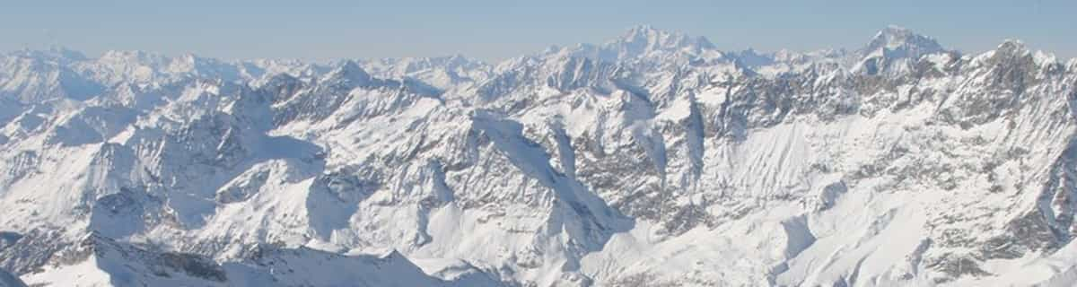
Die Tabelle oben zeigt die Wettervorhersage für Eschenlohe auf der angegebenen Höhe von 650 m. Unsere ausgeklügelten Wettermodelle ermöglichen uns die Schneevorhersage für die Gipfel-, Mittel- und Talstationen für Eschenlohe. Das Fenster über der Tabelle ermöglicht das Abrufen der Wettervorhersage für andere Höhen. Für einen umfassenderen Blick auf das Wetter, siehe die Wetterkarte" von Germany.Eschenlohe
Klicken Sie hier, um weitere Informationen über Gefrierpunkte zu erhalten und zu lesen wie wir unsere Temperaturen prognostizieren.
Besucher-Beurteilung fuer Eschenlohe
Kostenlose Snow-Forecast.com Wetter Widget für Ihre Website
Das Eschenlohe Skiwetter Wideget unten, ist auf externen Seiten kostenlos eigebettet. Es bietet eine tägliche Zusammenfassung über unsere Eschenlohe Schneevorhersage und derzeitige Wetterbedingungen. gehen Sie einfach auf die Feed-Konfiguration Seite und folgen Sie den 3 einfachen Schritten, um den eigenen HTML-Code-Snippet zu packen und fügen Sie ihn auf Ihrer eigenen Website. Sie können die Höhe der Schneevorhersage wählen (Gipfel, mittel Berg, oder unterer Gipfel) und Messeinheiten metrisch / Schneevorhersage für den Feed auf Ihre eigene Website & hellip anpassen; Klicken Sie hier, um den Code zu bekommen.
Detaillierte Schneevorhersage für Eschenlohe in:
snow-forecast.com

 Nearest